The snow squall warning mentioned in the article was issued by the National Weather Service at 3:11 a.m. on Thursday, January 1, 2026, and was in effect until 4:15 a.m. It has now expired.
This brief, intense event brought sudden heavy snow, gusty winds up to 35 mph, blowing snow, and rapid whiteout conditions, primarily affecting travel in areas like Allentown, Reading, Emmaus, and surrounding towns. The squall moved east at about 40 mph.
No active snow squall warnings or major winter alerts are currently in effect for Berks or Lehigh counties. The broader region saw a series of similar short-lived squalls overnight into early morning as a cold front passed through Pennsylvania.
Current conditions and forecast for the Lehigh Valley/Reading area:
- Partly sunny to mostly cloudy today with highs in the upper 20s to low 30s.
- Brisk winds making it feel like the teens.
- A chance of isolated flurries or light snow showers possible, but no significant accumulation expected.
- Colder air settling in for New Year's Day.

Typical snow squall warning map (similar to the one issued early this morning for Berks and Lehigh counties).


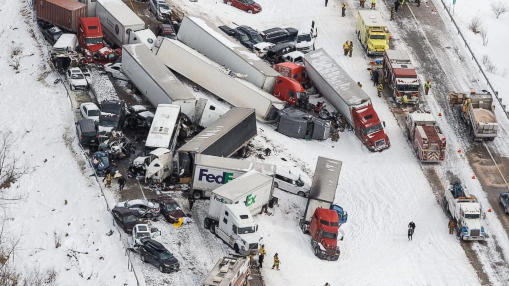
Snow squalls can cause dangerous whiteout conditions and pile-ups on highways, as seen in past Pennsylvania events.
Safety Reminder: Even after the warning expires, roads may remain slick in spots. Drive cautiously, especially on untreated surfaces. For the latest updates, check weather.gov or local sources. Stay safe!


Comments